A person walking into a room takes in the layout almost instantly: the door, the table, the step that might trip them. A robot entering the same room has none of that ready-made understanding. It has sensors that produce streams of numbers, and software that must turn those numbers into a statement like "there is a wall two meters ahead, and I am facing it." That translation from raw signals to a usable model of the world is called perception, and it is among the hardest problems in robotics.
The difficulty is not that sensors are poor. It is that every sensor is partial, noisy, and blind to something. Cameras capture rich detail but struggle in darkness. Laser scanners measure distance accurately but see no color. Wheel counters know how far the wheels turned but not whether they slipped. Robust perception comes from combining these imperfect witnesses, much as a detective combines testimonies that are individually unreliable.
Seeing with Cameras
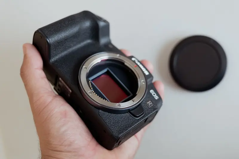
The most familiar robot sensor is the camera. A camera produces a grid of brightness and color values, the same kind of data described in how digital camera sensors capture images. But a single image is flat. Nothing in the pixels says how far away a coffee mug is.
One remedy is stereo vision, which borrows its principle from human eyes. Two cameras mounted a known distance apart photograph the same scene. An object close to the cameras appears in noticeably different positions in the two images, while a distant one barely shifts. This difference is called disparity, and with the camera spacing and lens properties known, simple geometry converts disparity into distance. Human depth perception uses the same effect: the roughly 6.5-centimeter gap between our eyes produces the disparity our brains interpret as depth, a phenomenon demonstrated experimentally by Charles Wheatstone in 1838.
NASA's Perseverance rover on Mars shows the approach at work. Its navigation cameras sit high on a mast as stereo pairs, and the agency reports that they can pick out an object as small as a golf ball from 25 meters away. Its onboard computer uses stereo images to build a three-dimensional view of the terrain ahead and can choose its own path around large rocks, trenches, and sand. Because radio signals need substantial time to cross the gap between Earth and Mars, such local autonomy is not a luxury.
Software must still decide what the pixels mean. Modern systems use trained neural networks to label regions as road, person, or obstacle. The same statistical learning underlies the models discussed in how voice assistants recognize commands: both convert messy physical signals into categories by learning from many examples.
Measuring with Light: Lidar
A different approach skips interpretation and measures distance directly. Lidar, short for light detection and ranging, sends out a short pulse of laser light and times how long the reflection takes to return. Since light travels at a known speed, the distance follows from a simple formula: the speed of light multiplied by the elapsed time, divided by two, because the pulse covers the path out and back.
A single measurement gives one distance in one direction. To build a picture, the sensor sweeps the beam across the scene, either by spinning a laser assembly or steering the beam with mirrors, taking many thousands of measurements. The result is a point cloud, a set of three-dimensional coordinates tracing the surfaces the laser hit. Lidar works in darkness because it supplies its own light, and its distances are precise. Its limits are that it produces no color, and that glass, mirrors, rain, and dust can scatter or reflect the pulses in unhelpful ways.
Related sensors follow the same time-of-flight logic with different waves. Sonar uses sound pulses, common in underwater and short-range indoor robots, while radar uses radio waves that pass through fog and dust more easily than light does.
Feeling Motion and Contact
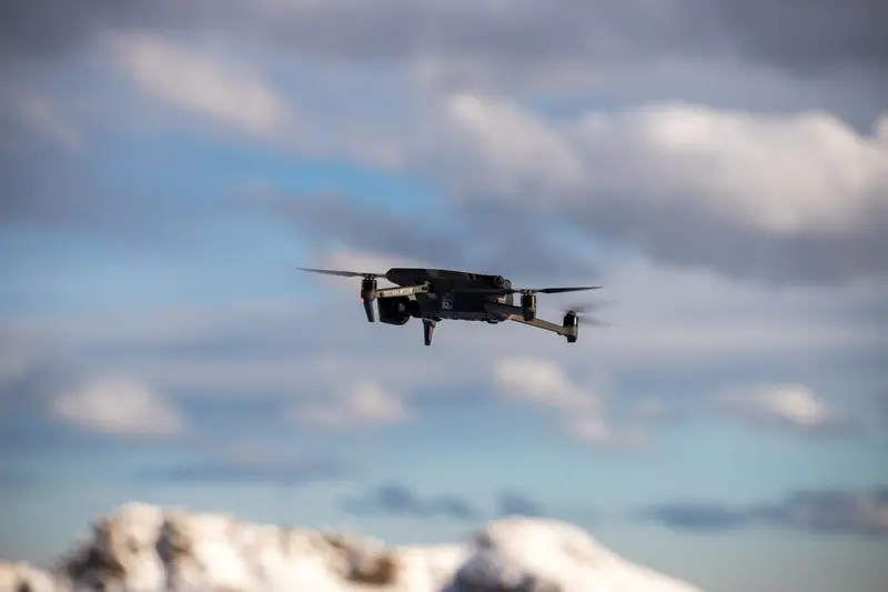
Robots also perceive themselves. Wheel encoders count rotations, joint sensors report the angle of each arm segment, and inertial measurement units track acceleration and rotation, just as they do in how drones stay stable in flight. Force and touch sensors tell a gripper whether it holds an object or crushes it. This inward-facing sense is called proprioception, and it gives the robot a running estimate of how it has moved, though each such estimate drifts as small errors pile up.
Fusing the Evidence
No single sensor is sufficient, so robots combine them in a process known as sensor fusion. The goal, as the technical literature phrases it, is to produce information with less uncertainty than any source would give alone. A classic tool is the Kalman filter, which keeps an estimate of the robot's state along with a measure of how uncertain that estimate is. Each new measurement is weighted according to its reliability: if one sensor is precise and another noisy, the filter leans on the precise one. When a measurement is noise-free, the filter effectively ignores a less trustworthy competitor.
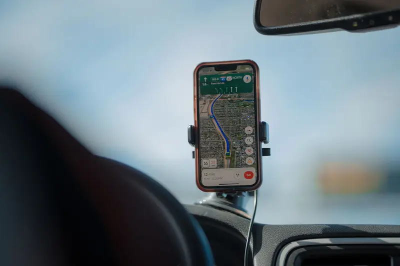
A practical example is navigation indoors. Wheel counters and inertial sensors provide a smooth but slowly drifting motion estimate. Lidar or camera observations of walls provide occasional absolute checks. Fusing them yields a position that is both smooth and anchored. Outdoors, a satellite receiver can join in, using the timing principles described in why GPS depends on extremely precise clocks.
Mapping While Moving
Knowing where obstacles are is only half of the task; the robot also needs to know where it is. But a good position estimate requires a map, and building a map requires a good position estimate. The chicken-and-egg problem is called simultaneous localization and mapping, or SLAM. A SLAM system builds a map of an unknown environment while simultaneously tracking the robot's position within it. Algorithms such as particle filters, extended Kalman filters, and graph-based optimization solve it probabilistically, maintaining likelihoods rather than certainties.
Foundational work on the uncertainty of spatial estimates appeared in 1986, and the term SLAM itself emerged in the mid-1990s. Its use spread through autonomous vehicles in the 2000s, and it now supports planetary rovers, warehouse robots, underwater vehicles, and robot vacuum cleaners. Government research groups, such as NIST's sensing and perception work for manufacturing robots, study how to measure and test these capabilities so they can be trusted on a factory floor.
Limits and Misconceptions
It is tempting to think that a robot with a camera "sees" as we do. It does not. It computes with statistics, and it can be fooled by conditions that a child would handle easily: harsh glare, a featureless white hallway, a shiny floor that reflects lidar, or an unusual object it never encountered during training. Perception systems are usually judged on how gracefully they fail, which is why safety-critical designs include redundant sensors that fail in different ways.
Another misconception is that more sensors always help. Extra sensors add cost, weight, power consumption, and complexity in calibration. Engineers choose combinations whose weaknesses do not overlap.
In Short
Robots perceive by turning physical signals into numbers, whether from light, laser timing, motion, or touch, and by combining these imperfect measurements into an estimate of the world and their place in it. Stereo vision infers depth from disparity, lidar measures it from flight time, fusion algorithms weigh the evidence, and SLAM builds the map on the go. The result is not sight but a carefully reasoned, continually updated guess.